
This large carpenter-gothic style structure, completed about 1864, was the ranch home of Theodore and Maggie Winters and their seven children. Originally this area was settled by Mormons, and the ranch was purchased from Mormons by Winters and his brother from the proceeds of the Comstock. Theodore Winters immediately set out to enlarge his property and built the mansion you see. The ranch, at one time, consisted of around 6,000 acres.
Winters raised outstanding racehorses and raced them here. He also had a large dairy operation and raised beef cattle, work horses and sheep. Theodore Winters was active in politics, being elected territorial representative.
Location: From Reno, go south on Alt. U.S. 395. After you pass through Pleasant Valley and Old Washoe City, the Old Winters Ranch will be on the east side of the highway. The Winters Ranch Historic Marker is accessible from the northbound lane of Alt. U.S. 395.
In 1859, the discovery of silver in the Comstock Lode of Virginia City brought thousands of miners, loggers, and traders to the Washoe Valley. The town of Ophir was situated on the pine clad banks of Washoe Lake at the base of the Sierra Nevada Range.
In 1861, the Ophir Mining Company erected a mill for the reduction of ore from the famed Comstock Ophir Mine. The Ophir Mill was built on Washoe Lake’s west shore and was reached by an elevated causeway across what was then Washoe Marsh. In 1872, the Virginia and Truckee Railroad began service through Washoe Valley, connecting Reno to Carson City. By the late 1870s the mining boom was over and the towns around Washoe Lake were all but abandoned.
Location: From Reno, go south on Alt. U.S. 395. After you pass through Pleasant Valley, you will pass Davis Creek County Park. The Ophir Mill marker is on the east side of the road at a paved pull-out on a boulder just south of the Davis Creek Park entrance.

The Bowers Mansion was built in 1863 by Lemuel “Sandy” Bowers and his wife, Eilley, and is the finest example of the homes built in Nevada by the new millionaires of the Comstock mining boom.
The land originally was purchased in 1856 by Eilley and her first husband Alex Cowan, who returned to Utah a year later with other Mormon settlers. Eilley secured a divorce and moved to Gold Canyon where she ran a boarding house and later acquired the mining claim which, together with that belonging to her second husband Sandy, became the source of their fortune.
The mansion was the fulfillment of Eilley’s dreams of prestige and respectability. The mansion, designed by J. Neeley Johnson, a builder and ex-governor of California, combined Georgian and Italianate architectural styles. It was modeled after a design conceived by Eilley based on her recollection of elegant buildings in her native Scotland. Indeed, the Bowers employed stonecutters from Scotland for the construction of their new home, which eventually cost $400,000 to build, an exorbitant sum in the 1860s.
Eilley and Sandy toured Europe from 1861 to 1863, purchasing furniture, statuary, painting and other adornments for their home.
Following the death of Sandy Bowers in 1868, Eilley fell on hard financial times and finally lost her precious home to foreclosure. The mansion was abandoned by the time Henry Riter acquired it and operated it as a resort until 1946.
The building is currently owned and operated by the Washoe County Parks Department. Some 500 Nevada families have donated period furniture housed in the mansion. The park blends the historical site with recreational facilities such as a spring-fed swimming pool, picnic areas, and a playground. Tours of the mansion are given in summer and autumn.
Bowers Mansion Photo by Terri McBride, Courtesy of Nevada State Historic Preservation Office
Bowers Mansion in 1940 Photo courtesy of Library of Congress, Prints & Photographs Division, FSA-OWI Collection, LC-USF34-029749-D DLC
Location: From Reno, go south on Alt. U.S. 395. After you pass through Pleasant Valley, you will pass Davis Creek County Park. Continue and Bowers Mansion will be on the west side. A Nevada State Historic Marker is also located in the park by the mansion.

The marker was placed by the Nevada State Park System and Nevada Sagebrush Chapter. The inscription reads, “Franktown was established by Orson Hyde, Probate Judge of Carson County, Utah Territory, in the Wassau Valley (Washoe Valley) in 1855.
A sawmill was built and became an important enterprise in furnishing timber to the Comstock mines. The Dall Mill, a quartz mill of sixty stamps, employed hundreds of workmen.
Fertile farms surrounded the town. With the completion of the railroad from Carson City to Virginia City in 1869, the milling business rapidly lost its importance and the once prosperous town declined.
Location: From Reno, go south on Alt. U.S. 395. Location: From Reno, go south on Alt. U.S. 395. After you pass through Pleasant Valley, you will pass Davis Creek County Park and Bowers Mansion County Park. The Franktown marker is on the east side of the road at a dirt pull-out.

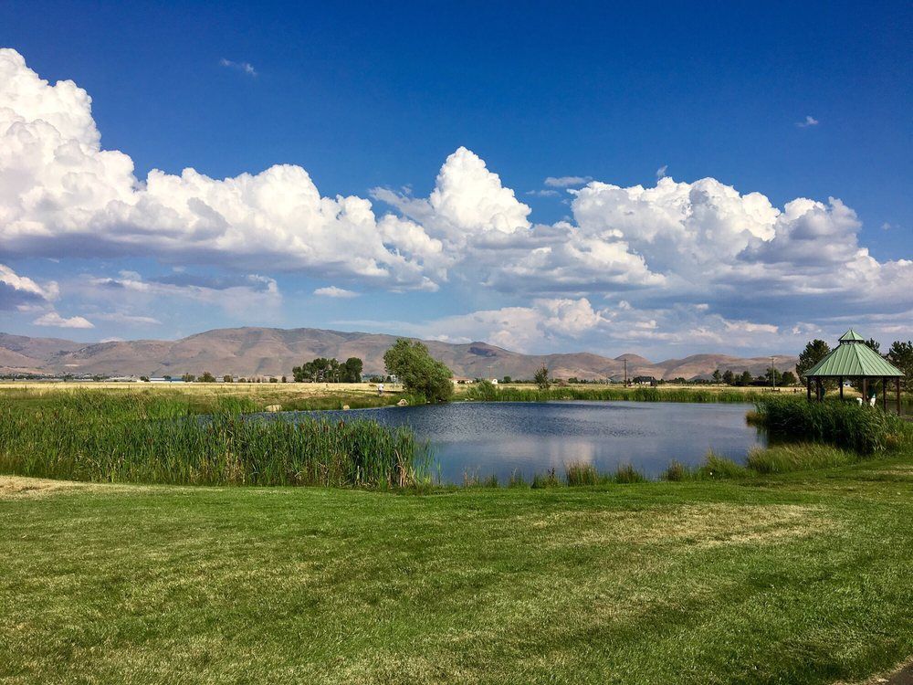
Wilson Commons- Washoe County Park
Preserved in Wilson Commons Park, the Twaddle/Pedroli Ranch Historic District is a complex of now five buildings and a network of corrals and pens, comprising 5 acres located in Washoe Valley at the base of the Sierra Nevada mountain ranges. The ranch is associated with the agricultural history of the region that sprung up in response to the westward migration and the mining booms that struck Nevada first in the late 1850s.
Location: From Reno, go south on Alt. U.S. 395. After you pass through Pleasant Valley, turn onto William Brent Road then turn left on Susan Lee Circle. The park will be in your right.

As early as 1863, two hotels with appurtenant stables were located here. In 1872, one hotel became a station on the newly completed Virginia & Truckee Railroad between Carson City and Reno.
Crossing under the highway are three inverted siphon pipelines furnishing water from the Sierra Nevada watershed to Virginia and Carson Cities. Work was first undertaken in 1873 on the 67-mile box flume and pipeline system with the construction of maintenance station here. The Virginia and Gold Hill Water Company’s historic water gathering, and transportation complex immediately became world famous.
As early as 1881, Lakeview became a lumber storage area for timber cut in the Lake Tahoe Basin. In 1887, shipping activity was accelerated as lumber was fed to the yard by a V-flume originating above present Incline Village. From here timber products were shipped to the Comstock mines and other points via V.&T.R.R. cars. Activity ceased in 1896.
Location: This marker is located on the shoulder of the northbound I-580 at the top of Lakeview Hill. Caution recommended as this is an area of traffic intensity and high speed.
Get Directions >

The Marlette Lake Water System (System) consists of Marlette Lake and Hobart Reservoir, a 1-million gallon storage tank above Lakeview, a pump at Marlette Lake with a natural gas fired generator at a remote building site, several “catchments” on the East Slope of the Sierra Nevada Mountains above Washoe Valley which are designed to capture spring water runoff, and interconnecting piping systems.
The System is a historic water system originally constructed in the mid-1870’s to provide water to Virginia City, and was authorized for purchase by the 1963 Legislature from the Curtiss-Wright Corporation at a cost of $1.65 million. Originally, water was conveyed via a wooden flume from Marlette Lake to a pipeline bored through the mountain and eventually fed into Hobart Reservoir. The wooden flume structure has been removed and the adjacent trail, named the “Flume Trail”, remains for visitors to explore this historic area.
The adjoining lands to the Marlette Water System are administered and controlled by State Parks. Today the System provides raw water to Carson City and Storey County. In fact, it is the only source of raw water for Virginia City and is piped to Storey County’s system through the inverted siphon piping system that runs down from the storage tanks on the East Slope, under the 395/I-580 freeway, and up the east side of Washoe Valley to the 5-mile reservoir near Virginia City. The major objectives of the System are to preserve and protect local water sources, provide adequate supplies of water to the areas served, maintain the system in a condition calculated to assure dependable supplies of water, and sell water under equitable and fiscally sound contractual arrangements. This system is funded entirely from water sales to Carson City and Storey County.
Walter Cliff Ranch District is currently inaccessible.
The Walter Cliff Ranch is the only agricultural complex extant in Washoe Valley associated with supplying food stuffs to the Comstock Mining District.
Walter and Elizabeth Cliff purchased the 130- acre parcel in 1874 and lived there for 30 years until they retired to Carson City. The Cliff’s ranch produced fruit, vegetables, dairy products, and hay.
The Walter Cliff Ranch dwelling, root cellar , and improved acreage are representative of agricultural development in Washoe Valley during the late 19th century. The four remaining 20th century support structures associated with the complex are of simple, functional design and are compatible with the ranch’s original design. The ranch house and five outbuildings are in a grove of mature trees with a mature orchard to the south and west.
This ranch is reflective of middle- class ranching life in the last four decades of the 19th century. The house is a vernacular example of ranch houses in rural Nevada during the Victorian era.


